Water stress is escalating
Scarcity, salinization, and agricultural volatility are accelerating across continents. Intermittent satellite passes and short drone sorties miss crucial changes, leaving operators blind to rapidly evolving conditions.
Persistent aerial intelligence
Horus Engineering builds the Gas-filled Compact Flying Apparatus — a long-endurance airship platform that collects multispectral insight where satellites and drones fall short, so governments and enterprises can monitor water, infrastructure, and climate risk in real time.

Water stress, climate volatility, and infrastructure demands require persistent aerial data that current platforms cannot sustain.
Scarcity, salinization, and agricultural volatility are accelerating across continents. Intermittent satellite passes and short drone sorties miss crucial changes, leaving operators blind to rapidly evolving conditions.
Global aerial imaging spend is on track to triple by 2032 across infrastructure, agriculture, energy, and environmental sectors — worldwide demand for coverage that simply stays up.
A modern helium airship that bridges the gap between satellites, planes, and drones — long-endurance flight paired with high-fidelity sensing and autonomous control.
The Gas-filled Compact Flying Apparatus (GCFA) floats for days at mid-altitude — continuous imaging that satellites, manned flights, and battery drones cannot sustain.
A proprietary composite film holds helium permeability under 20 cc/m²·24h·1atm at less than 100 gsm — far beyond consumer films and aluminized mylar.
A hybrid AI control stack fuses multiple sensors for robust path following and navigation — even in degraded GNSS/GPS environments.
Two core advantages compound: an envelope that keeps helium in, and a flight stack that keeps the mission on course.
SPEC / ENVELOPE
Our proprietary envelope material dramatically outperforms consumer-grade films, translating directly into longer missions and lower operating cost per flight hour.
SPEC / FLIGHT STACK
A hybrid AI controller fuses sensor inputs to hold course through challenging wind profiles, with redundant navigation that keeps the GCFA mission-ready when GNSS fades.
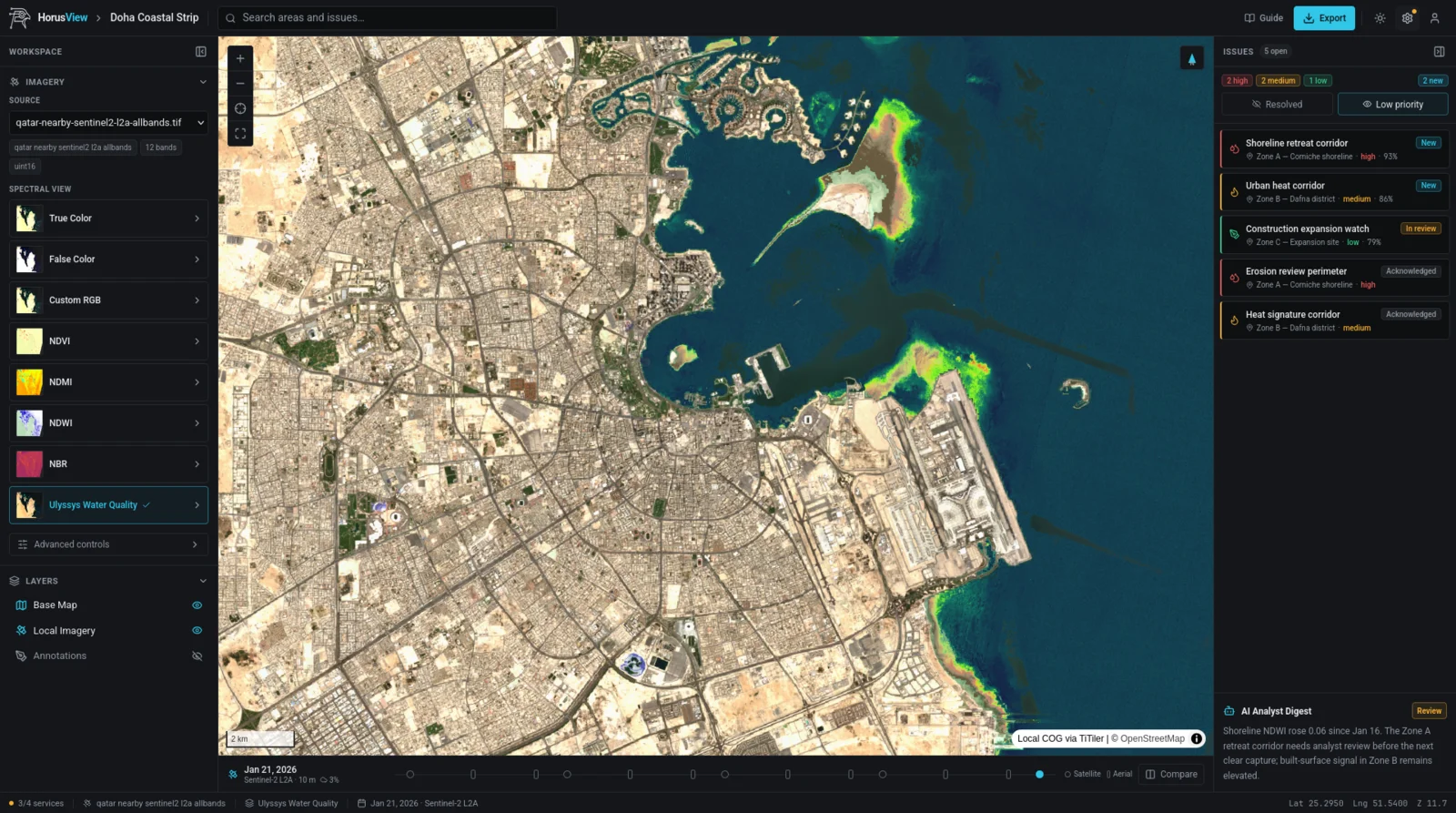
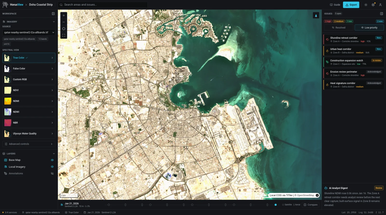
Raw multispectral imagery only matters once it becomes an answer. HorusView, our analysis platform, turns captures into spectral views, tracked issues, and analyst-ready digests. Drag the divider to see the same Doha coastline through the Ulyssys water-quality model.
A two-stage commercialization strategy balances early recurring revenue with scalable hardware delivery.
2026–2027
Develop the composite envelope, train flight models, and complete prototype manufacturing and testing with strategic pilot partners.
2027
Subscription aerial coverage, data analytics, and precision reporting for government and enterprise clients.
2029
Direct apparatus sales, maintenance programs, and regional franchise agreements to expand the global footprint.
Dedicated teams across research, science, engineering, and software drive a 12–24 month roadmap of tightly integrated milestones.
Interdisciplinary experts combining deep learning, material science, avionics, and long-term R&D leadership.

Founder · CEO
BSc/MSc Applied Math & Control Processes, 8 years building AI systems.
LinkedIn ↗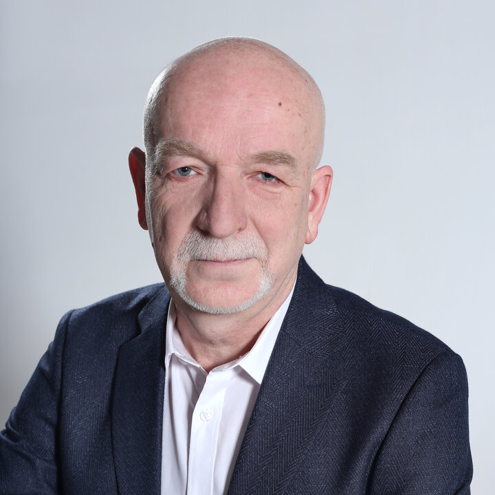
CTO · Hardware Engineer
Physics MSc, specializes in structural analysis, hardware and material analysis.

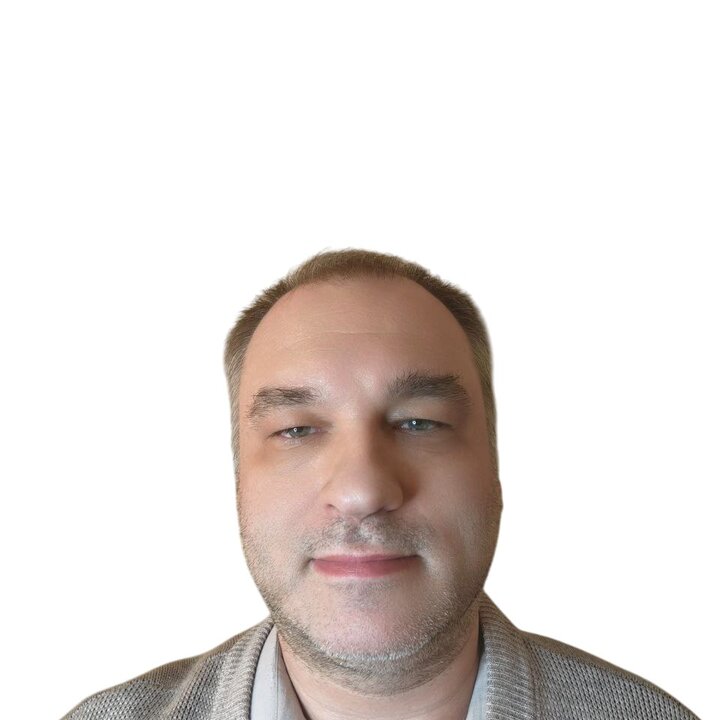
Software & Research Advisor
PhD Mathematics & Mechanics, 25 years in software research and academia; senior lecturer at SPSU.
LinkedIn ↗Contact
We’re engaging with government agencies, utilities, and corporations seeking continuous monitoring of water, infrastructure, and climate risk.
contact@horusengineering.net